 |
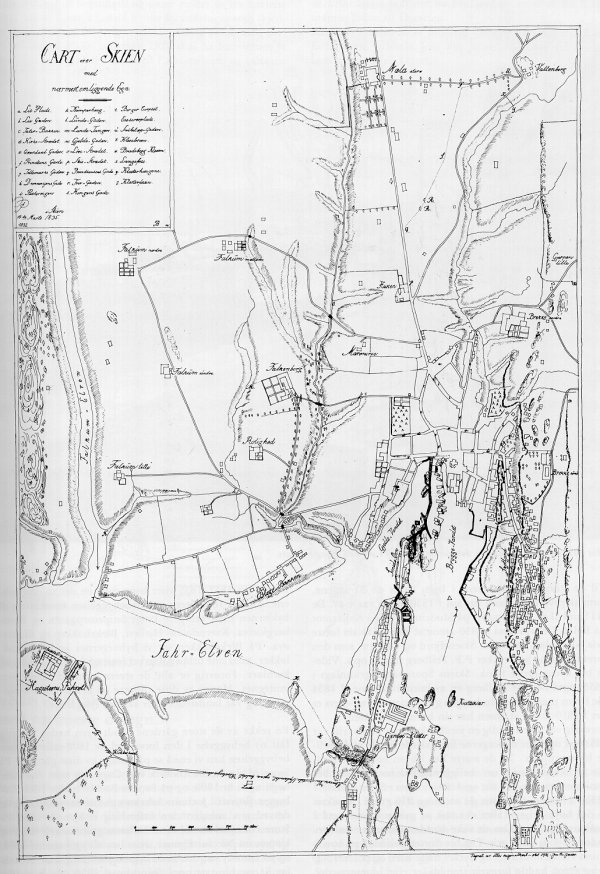
Map of Skien 1835
|
| Dette kartet ble laget ca 1832-35, og
viser en del av områdene rundt byen, fra Wattenberg og
Mæla i nord til Gjemsø i syd, og i vest helt til
Strømdal. Bebyggelsen er konsentrert til bykjernen, samt Bratsbergkleven, Blekebakken og Klosterøya. Vi ser at Amtssykehuset som ble bygd i 1830 er inntegnet i nedre vesntre del av kartet. |
This map dates back to 1832-35, and shows
parts of the surrounding areas to Skien, from the
Wattenberg and Mæla farms in the north, to Gjemsø in
the south, and in the west all the way up to the
Strømdal farm. The built-up areas are consentrated to the city-center, and also Bratsbergkleven, Blekebakken and Klosterøya. Vi notice that the County Hospital, which was built in 1830, is drawn in the lower left part of the map. |